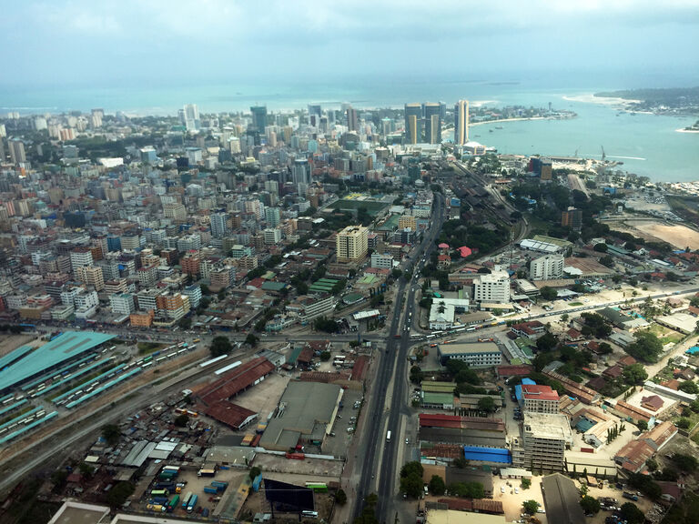
Dar es Salaam is experiencing significant population growth, with its metropolitan population projected to exceed 13 million by 2030. This rapid expansion is placing increasing pressure on the city’s urban infrastructure. The recently introduced BTR system now allows thousands of residents to reduce their travel time into the city from three hours to just 45 minutes. Our study explores the opportunities created by the new transport corridor, with a particular focus on potential future expansion.
Strategic guidelines for a new transport network in East Africa's fastest growing city
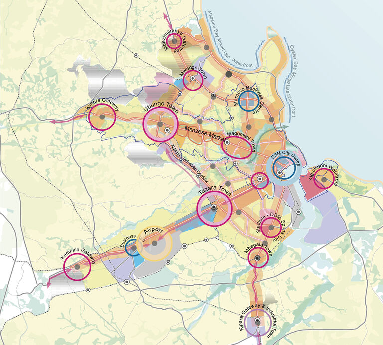
Broadway Malyan is leading an international advisory team in preparing the strategic framework for Dar es Salaam’s proposed 137 km Bus Rapid Transit (BRT) network corridor. The integrated transport and development strategy aims to reshape the rapidly expanding city, with a focus on the 21 km-long Phase One BRT route, which opened in 2016.
The strategy builds on the success of the BRT’s journey time improvements to stimulate substantial, well-connected redevelopment, attract inward investment, create jobs, enhance living standards, and support city infrastructure. Once completed, this framework will serve as a prototype for the remaining six phases of the BRT network.
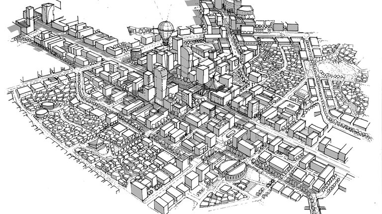
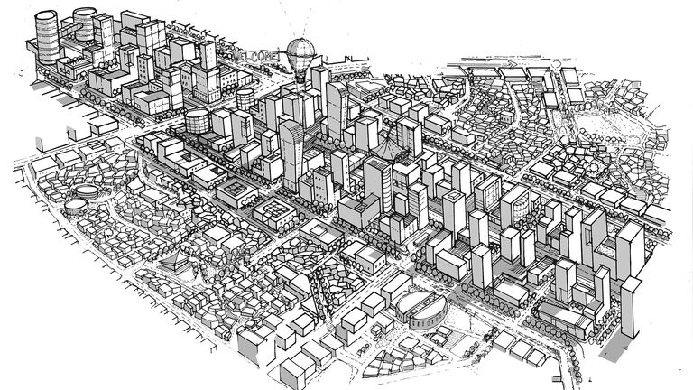
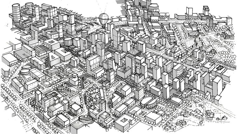
At the heart of the project is the concept of Transit-Oriented Development (TOD), which seeks to create higher-density, mixed-use areas around transit hubs. This approach fosters walkable, pedestrian-focused environments, promoting soft mobility and public transport use while discouraging car dependency, thereby actively contributing to carbon emission reduction.
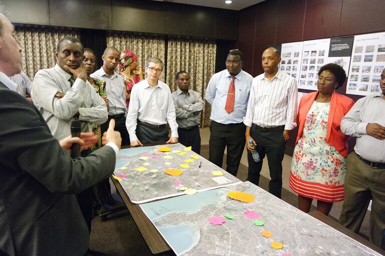
A critical aspect of the project was stakeholder and community engagement. A range of activities, including focus groups, public exhibitions, and an active Facebook page, was established to reach a broad audience and encourage greater feedback. Interactive workshops proved particularly effective, employing ‘learning through play’ techniques such as role play and model building to communicate key messages.
To ensure a thorough understanding of the city’s challenges and priorities, the project adopted an innovative approach to data collection and analysis. Land use and transport models were developed using a series of data-rich base maps within a Geographical Information System (GIS), which were then used to test various transport movements and real estate development scenarios.